Project Description
Anthrakitis
Anthrakitis
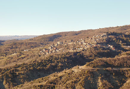
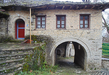
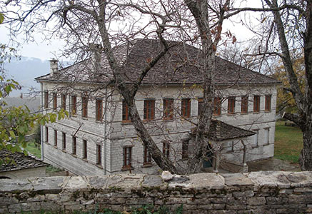
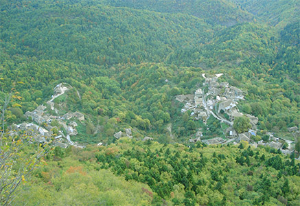
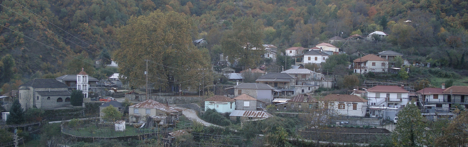
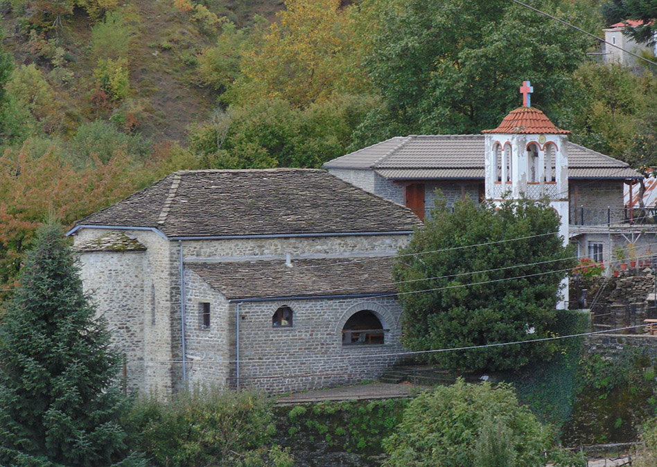
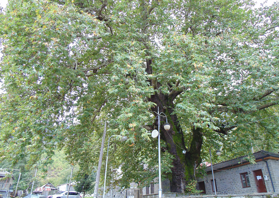
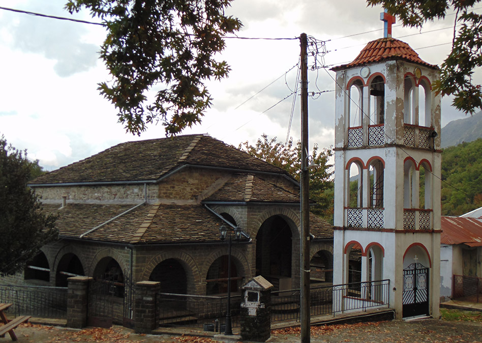
Anthrakitis is one of the 43 communities of the Municipality of Zagori, 50 km from Ioannina, it is built on the northeastern side of Mount Mitsikeli, at an altitude of 730. The urban form of the village is circular and monocentric, as the majority of the villages of Zagori. In the center of the village is the square, in the middle of which stands a large plane tree and around it grows the houses of the village. On the southeastern side of the square is built the church of the village, which is dedicated to the Assumption of the Virgin, while on the north side lies the old school building.
Anthrakitis is one of the 43 communities of the Municipality of Zagori, 50 km from Ioannina, it is built on the northeastern side of Mount Mitsikeli, at an altitude of 730. The urban form of the village is circular and monocentric, as the majority of the villages of Zagori. In the center of the village is the square, in the middle of which stands a large plane tree and around it grows the houses of the village. On the southeastern side of the square is built the church of the village, which is dedicated to the Assumption of the Virgin, while on the north side lies the old school building.
The village was named on 13-2-1947 after the great teacher of the nation, Methodios Anthrakitis, who came from the village of Kaminia, which was the former name of the village. Historical evidence has revealed that Anthrakitis existed in this location since 540 AD, as a settlement called Dryanovo. In 1431, when the Turks conquered Epirus, Dryanovo was among the 14 villages of Zagori that declared their allegiance to Karasinan Pasha. Later, a settlement with the name Mesohori was established. However, both settlements were eventually destroyed and in 1583 the a new village was created and named Kamnia. During the Second World War, the village was bombarded on December 6, 1940 by Italian airplanes and on 1-8-1940 was attacked by the German artillery. The destruction of the village was completed on 24-10-1943, when it was burned by the Germans. The village was rebuilt afterwards, but it never acquired its former glory and grandeur.
The inhabitants of Anthrakitis were native Zagorians and since 1950 some Sarakatsan families settled in the village. The population. In 2006, 26 permanent residents were recorded. The economy of the village has always been based on the surrounding forests, agriculture and livestock farming, while many villagers followed the fate of the other inhabitants of Zagori and immigrated in order to improve their way of life. The economic and intellectual development of the village lasted until the Second World War. After the war, the immigration of most of its inhabitants followed. Nowadays, the villagers have very few animals as livestock and farm only in order to satisfy their own needs.
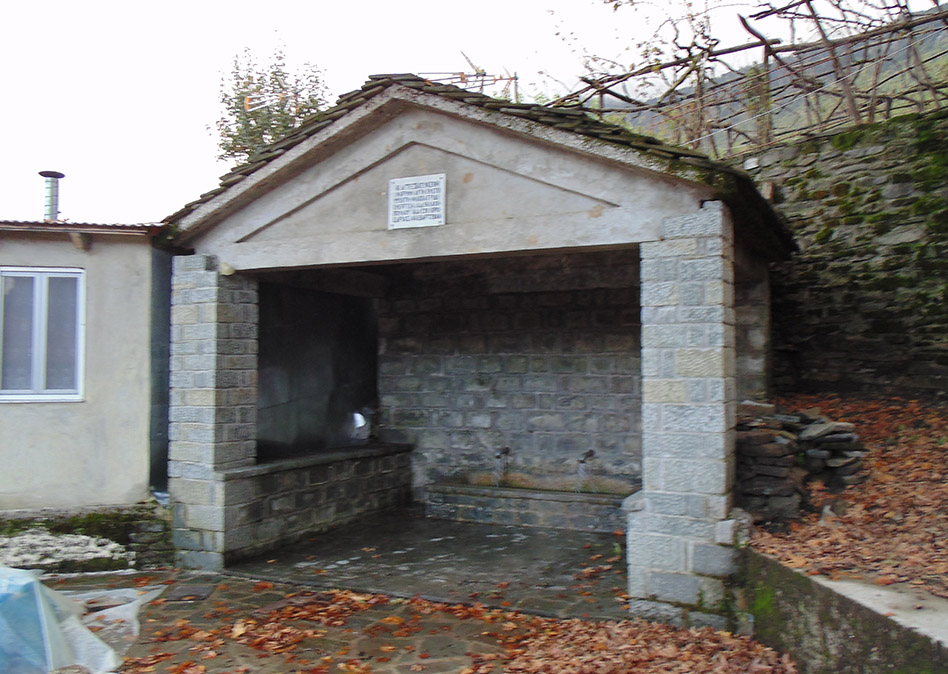
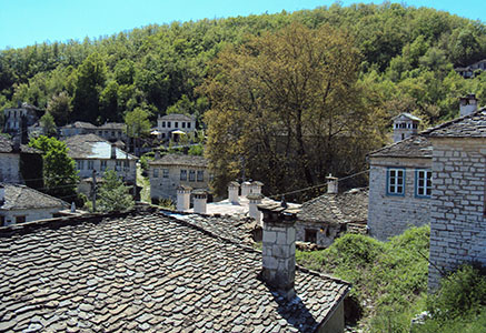
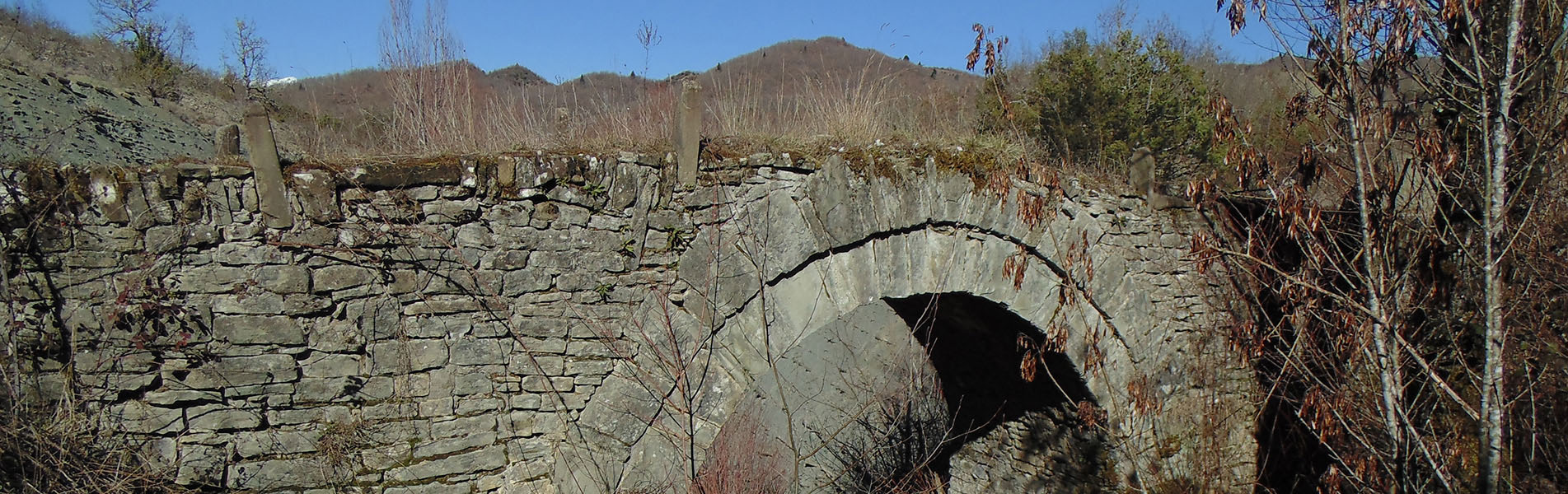
The village has three bridges. A one-arched bridge is located at “Lakkos of Pasia”, one at “Lakkos of Lefka” and the third at “Siopato”. Several other bridges surround the village, for instance there is one at Fteri spot, one in Tsionia pit, one in Founta, one in Seltsiana, one at Katsilekkos and one at the location “Budadia”. Apart from the stone bridges, the village has also several fountains, as well as some old streets paved with cobblestones
NOTE: I withdrew the information about the writing of the present from Petroula Vasiaka’s book, titled “Anthrakitis of Zagori and the Municipal Song”.