Project Description
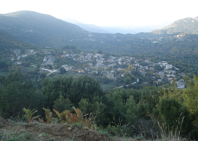
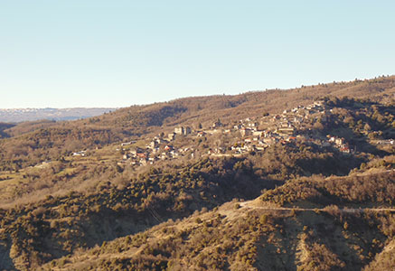
Aristi
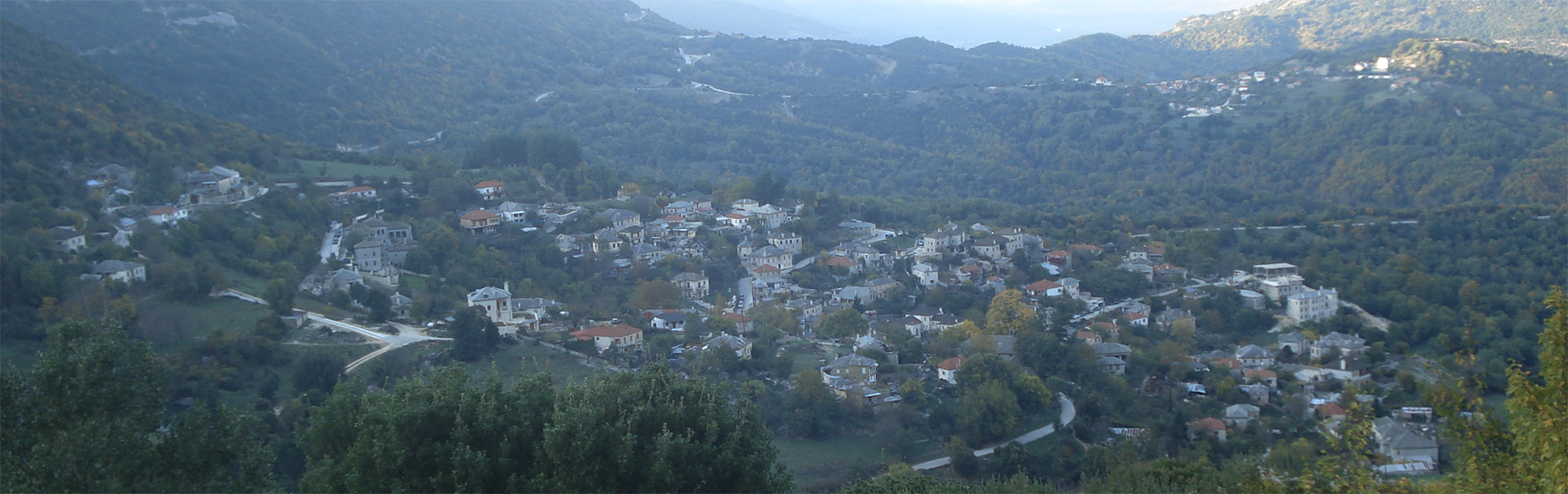
Aristi
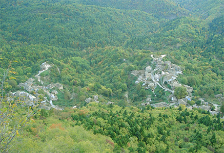
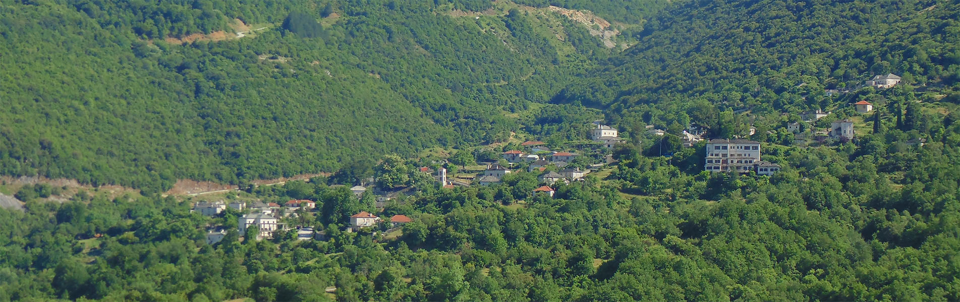
The oldest name of the village was Artsista. This place name comes from a plant species, the Albanian arrc-i the ending -ishte or the -ishta article, which means a place where a species of shrub or tree or grass develops. The village is built on the slopes of the Koudounata and Grambala Mountains at an altitude of 650 m, and is located 47 km from Ioannina.
Tradition says that the village was inhabited by the inhabitants of Vopati, a village opposite to Aristi, who, because of falling rocks and killing of people and animals, were forced to abandon their village.
Families from Saint Minas moved to Artsista. Its inhabitants traveled mostly to Serbia. The women who stayed behind, worked hard and often arranged marriages for their underage children.
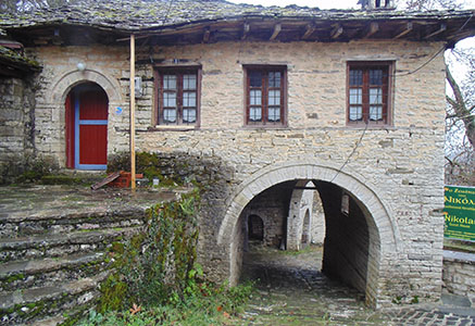
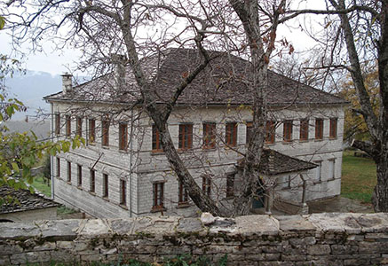
In 1380 the village was fortified by the Despot of Epirus in order to confront the Turks. It was one of the first villages in which schools were founded, and from the second half of the 18th century, a school operated based on peer learning, in 1895 in Greek and from 1900 a Girls’ School, operated as well.
An hour and a half west of Aristi, there is a small lake, the Lake of Artsista. On its eastern bank there is a large hill, where are the ruins of Galbahi (a village of 20 houses that dissolved around 1840).
One hour west of the lake, the 100 huts are located, where the women who cultivated the surrounding fields lived.
During the Greek-Italian War of 1940, the area was the defensive line of the Greek forces and the hills of the village, the famous and fortified Grambala, were inaccessible to the Italians.
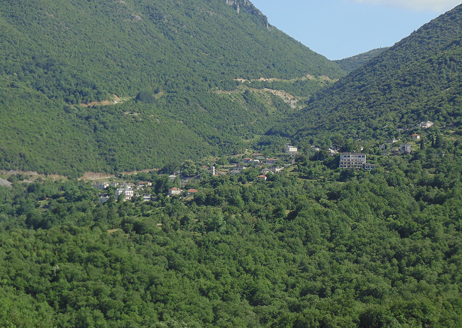
Τhe village of Vikos or Vitsiko pertains administratively to the village of Aristi. There are different versions for this place name. The first version claims that the word Vitsiko has a Slavic root and means “a place where beans are found”, while the opposite view claims to have an Albanian root and means a monsoil bridge, the pavement.
The settlement is built at an altitude of 770 meters, at the western entrance of the gorge of Vikos, from where it got its name.
The place where the settlement is built offers breathtaking views in all directions but mainly towards the gorge of Vikos, with the springs of the Voidomatis river and the chapel of Saint Mary distinguishing just below the settlement and a large part of the gorge being visible from the observatories.